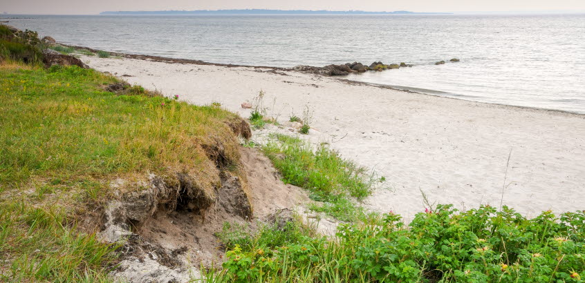
 Photo: SGI/Torbjörn Thuresson
Erosion mapping
We map erosion conditions in Sweden. We have extensively surveyed conditions for erosion and are now developing a method for mapping vulnerability.
We have extensively surveyed the conditions for erosion along coastlines, lakes and water courses. Conditions for erosion are presented in a map display service. There are also scale PDF maps to download. The map display service and pdf maps can be found on our map and GIS pages.
Methodology for mapping vulnerability
We are also working to develop a method to comprehensively survey the vulnerability of coastal erosion along coastlines, lakes and water courses. This is an ongoing project conducted in collaboration with the Swedish Geological Survey (SGU) in the very southern part of Sweden, Skåne. The project is called "Skånestrand".
Our intention is to present the results of the vulnerability survey in an upcoming map display service.

