 Photo: SGI
Landslide risks in the Göta älv River Valley
The Göta älv River Valley is one of the areas in Sweden's most prone to landslides. Several major landslides have occurred in modern times and our mapping of the risk of landslides shows that many areas along the Göta älv have a high risk of landslides.
In our landslide database there are more than 200 old landslide scars registered from the Göta älv River Valley.
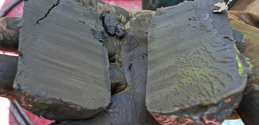
In the Göta älv River Valley and in many other places in Sweden you will find quick clay. This means that if a landslide occurs, it can develop to encompass a wide area and in doing so have a major impact. Quick clay has properties that dramatically impairs the strength of the clay soil if the clay is subjected to stress. We conduct research to develop better methods to locate and map the presence of quick clay.
The Göta älv is the largest river in Sweden, with respect to discharge. It is about 90 km long from Lake Vänern to Gothenburg and with six municipalities located right next to the river. A future major landslide in the Göta älv River Valley can have major consequences for communities and the water supply to Gothenburg and the surrounding municipalities.
Climate change increases the risk
Due to the ongoing climate change increased precipitation is expected in western Sweden and thus increased water discharge in the Göta älv River Valley. This results in more erosion in the river channel and higher water pressure in clay soil at the side of the river. This implies a higher risk of landslides in the future.
Mapping indicates a high risk of landslides
By the order of the Swedish government SGI has recently mapped the risk of landslides along the whole Göta älv River Valley, including the Nordre älv River Valley, with regard to the future need of handling increased flows in the river. The assignment also involved a comprehensive risk analysis with estimates of the probability of landslides and evaluation of the possible impact.
The work has shown, that within the Göta älv River Valley, there are many areas with a high risk of landslide based on today's conditions and that the risks will increase with climate change.
Reports
The risk of landslides along the Göta älv River Valley, in today's and in a future climate are presented in a final report in three parts. The documentation also includes 34 sub-reports. All the reports from the risk of landslide investigation can be found here.
Map viewing service
In the map viewing service you will find GIS layers with probability, consequence and landslide risk maps along the river, as well as further location-specific information. Maps and menus are in Swedish.

